Sunday, August 2, 2026
Saturday, August 1, 2026
Good Day to Read & Stitch

Today has been overcast and rained off and on…good day to stay in and read and stitch. I have done a lot of reclining and taking it easy. The one time that I ventured outside to get the mail, I was met by a steam bath…I do think that the "dog days" of summer have arrived. My front door and porch rail painter just texted me and said that the weather isn't very promising for a dry day for a while. So we are going on God's timing and eventually the job will get done when we have several dry days in a row predicted. I’m fine with waiting…the door is doing its job without paint for the time being. I have made pretty good headway in two books. I was trying to finish one before it got swept back into cyberspace in a couple of days…so was reading away on it. But I got the opportunity to renew it, which I did so now that book has the longest time remaining on it so I moved to another one and made good headway on it, too. I got to a point that the reading was putting me to sleep. So I set my books aside and picked up my stitching…after I got up and walked around the house for a bit! I fairly quickly finished the Christmas ornament that I have been working on for a while. Then I decided which ornament I would stitch next and pulled the colors of floss needed and got started stitching on a new ornament…onward and upward…still a lot to stitch before it is time to make them into ornaments and gift them. I haven't actually counted the number I need this year…but I don't think I’m even half-way yet. But I do think that the hardest ones are behind me. Most of those still to stitch aren't too complicated…unless I change my mind!! And, would I do that?!?
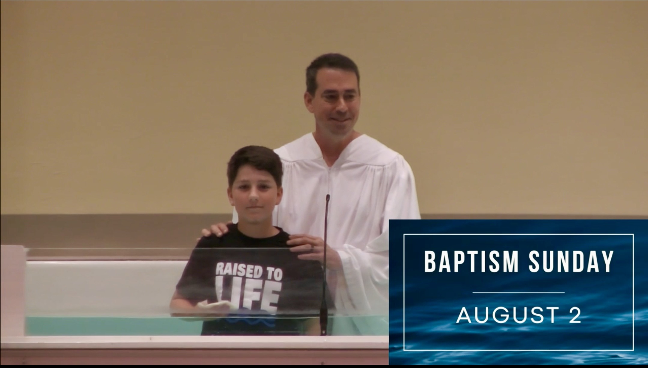
Tomorrow is a big day for our family. Joseph is being baptized and Esther is celebrating her birthday. We will be gathering at Nathan and Kathy's after church to celebrate as a family.
To be continued! Be safe! Be well! Be cautious!
Friday, July 31, 2026
Bidding Farewell to July
Where has the month gone? Time continues to fly by. It seems that all I talk to feel the same way. Does it seem possible that seven months of 2026 will be behind us tomorrow. And, summer, according to the school schedules around here, is over, too. As schools in Tullahoma started back today. Of course, we know that summer isn't over yet…perhaps the hottest month is ahead of us. And, according to the calendar and the solstices we have more summer ahead of us. Just the school systems don’t realize it!
I got my grocery list together and headed off to Kroger late morning. Lots in Tullahoma and the surrounding areas also had the same idea…pretty busy. But once again, when it was time for me to check out, I had a cashier ready for me before I had all my groceries on the conveyer belt. By the time I had my shopper code typed in she was ready for me to pay. She is VERY efficient…of course, as she said today, she has done this job for MANY years.
My shopping, putting away groceries, and fixing myself two meals have used up most of my energy today. I have felt rather lazy for most of the day. I had planned to do a lot more stitching than I ended up getting done to his point of the day. But I am making slow-but-sure headway on the Christmas ornament that I am currently working on. I think that I may be able to have this ornament done by blogging time tomorrow night. This afternoon drowsiness overtook me. I’m hoping to be able to keep my eyes open a little longer this evening and get some more stitches put in. I need to get on with these ornaments, as I said a the start…the year is flying by and even though I started early working on ornaments, but there are still many to go…I’m not even sure if I have half of them stitched at this point. So must keep on stitching and doing less dozing!!
To be continued! Be safe! Be well! Be cautious!
Thursday, July 30, 2026
I Voted

Today I managed to run errands. First I voted, then I made a stop at the Credit Union, and then on to buy gas. That was my run around for the day. I have stitched…did get all the Xs finished on the cross stitched Christmas ornament…finally…but so far haven't started the back stitching. But at least I’m definitely closer to another ornament being finished. I’ve talked to Cheryl, Connie, and Melany. Melany is getting so close to school starting…again. She plans to go to her school in the morning and start getting her room ready…her thoughts as she goes about this yearly routine, will be that after this year, she will only have only two more years of starting school. She is to the point of counting years till she retires. How is it possible that a child of mine is getting close to retirement?!?
To be continued! Be safe! Be well! Be cautious!
Wednesday, July 29, 2026
Last Wednesday in July
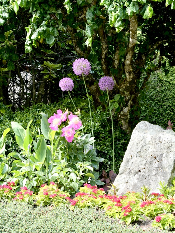
Butchart Gardens, Victoria, British Columbia, Canada
I stayed at home and puttered around the house today and read and stitched. I did spend some time in the sewing room…trying to get motivated to do some garment sewing. I did hunt through buttons that might work on the top that I want to make. I really do want to sew…at least in my mind…but just can't quite get my sewing mojo back. I figured if I sat in the sewing room and stared at the beautiful piece of fabric that I will get inspired to get back to sewing. While in there, I put away some fabric that I had out for a project and decided to wait on that project for another time. So put it back in my sewing closet to wait till I pick it up again. At least it is out of the way, but still easy to get to…and in sight. You probably know what happens when something is out of sight…out of mind, too! I even ironed a pair of my crop pants…they are cotton and never come out of the dryer without needing at a little pressing. So a little was accomplished while I was seeking inspiration in my sewing room today.
My main push for the moment is to finish stitching another Christmas ornament. The one that I am working on is a little more time consuming than some and has taken more time than I thought it would. I am finally seeing a finish in the near future…at least I hope that I am at that place with it. The cross stitching is almost done…then there is a LOT of back stitching to do…but back stitching goes much faster than the cross stitching…I hope so, anyway!
I have settled into my chair for the evening. I did do some reading before I picked up my stitching again. About an hour ago I got back to cross stitching. Onward with the stitching. I "might" be able to finish the Xs tonight and be ready to backstitch tomorrow. But I usually underestimate the length of time left in a piece…the stitching always takes longer than I think it will. This is not an instant gratification hobby!
To be continued! Be safe! Be well! Be cautious!
Tuesday, July 28, 2026
A Really Nice Stitching Day
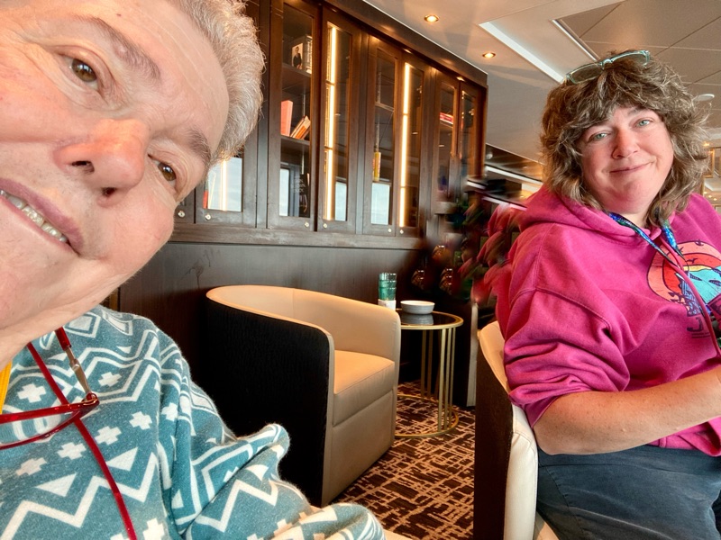
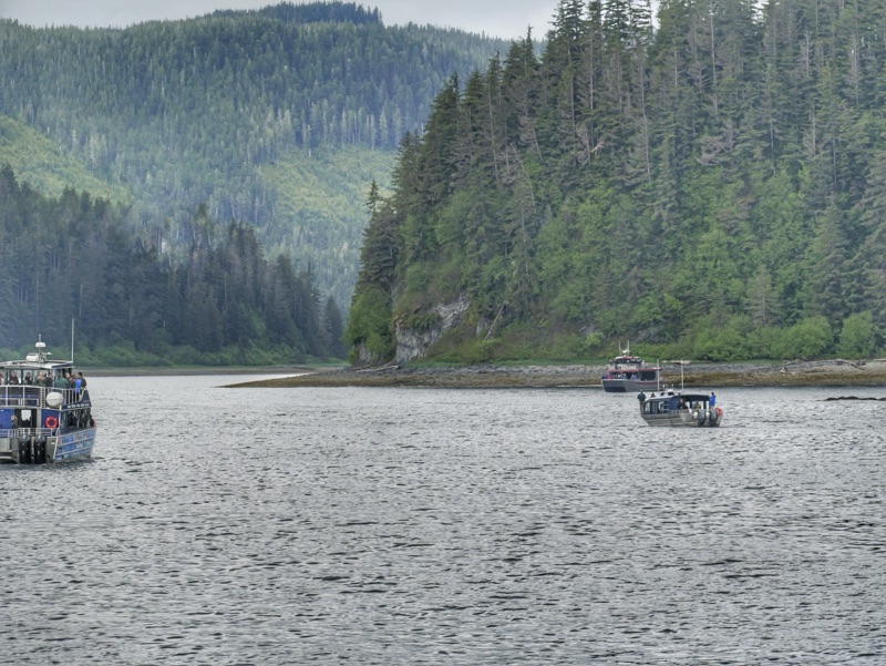
I thought that this Alaska cruise photo was appropriate to share again today. This was taken one of the days that Melany and I headed off to the observation deck and found a place to look out the window at the ocean while we sat and stitched. And, today, Melany joined me here at the house to stitch and visit…with no ocean view! We had a very nice visit and got some stitching done to boot. I stitched both on a Christmas ornament and a sampler. Melany worked on one of her new needlework projects that we made plans for when she was here last week. This was one of Melany's last hurrahs before she heads back to school next week. She got here midmorning and we stitched until lunch time. We took a break from stitching while we ate lunch and then we went back to stitching. Time flew by…guess we were having fun…right..due to time flying when one has fun!?! She is back home safely and it is now even closer to her return to school. I’m planning to do more stitching this evening. Pretty much a day devoted totally to stitching! My kind of day! Oh, and the frog didn't visit for too long…I think we both had to take a few stitches out…but not too many!
To be continued! Be safe! Be well! Be cautious!
Monday, July 27, 2026
Monday Musings
The Butchart Gardens, Victoria, British Columbia, Canada
Today has been pretty much a regular Monday…doing a little of this and a little of that around the house. I have done some reading…I finished a couple of books over the weekend. I woke up earlier than usual so I stitched for a while. I gave myself a break from Christmas ornaments and have been working on a sampler…some "me stitching," in other words…not stitching for a gift. I got the rest of the clothes that I washed over the weekend put away. As I said…just did little bits and pieces of things that need to be done around here. After lunch I went to get my hair cut. So…that means it has been a good day! It's always a good day when I get my hair cut! While I was there a friend who I hadn't seen in some time came to get her hair done, too. So it was good getting to catch up with her.
I talked with Cheryl and Connie on the phone. And, I got many calls today from my "best friend," Spam Risk! I have an understanding with Spam Risk that I don't answer those calls…but that understanding doesn't seem to stop the calls!
I have just gotten home from prayer meeting. Kathy came tonight, so she and I stood outside, beyond when the others left, and we got caught up. She and Nathan and three of the children have just returned from camps in Texas. Nathan was camp pastor at these camps and they all did lots to keep the kids learning and entertained. I’m sure that juggling performances were part of week!
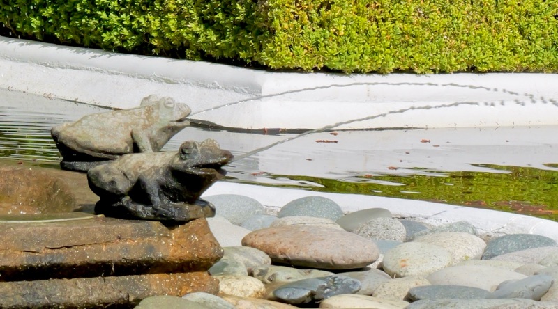
Melany plans to come tomorrow…her last summer visit before school starts back for her this coming week. We plan to stitch while we talk tomorrow. I’m trying to decide what I will stitch…Christmas ornaments or some "me stitching." Maybe I’ll do a little of both. And, the frogs pictured above are not invited to our stitching time tomorrow! Stitchers don't like frogs to come visiting because frogs cause "frog stitching." As what we have to do when mistakes are made in the piece that we are working on, stitchers call "frog stitching" because we have to rip-it, rip-it (remove that stitches done in error)! Get it? A frog says, "rib-it, rib-it" and stitchers rip-it, rip-it. No frogs are invited tomorrow!
To be continued! Be safe! Be well! Be cautious!
Subscribe to:
Posts (Atom)